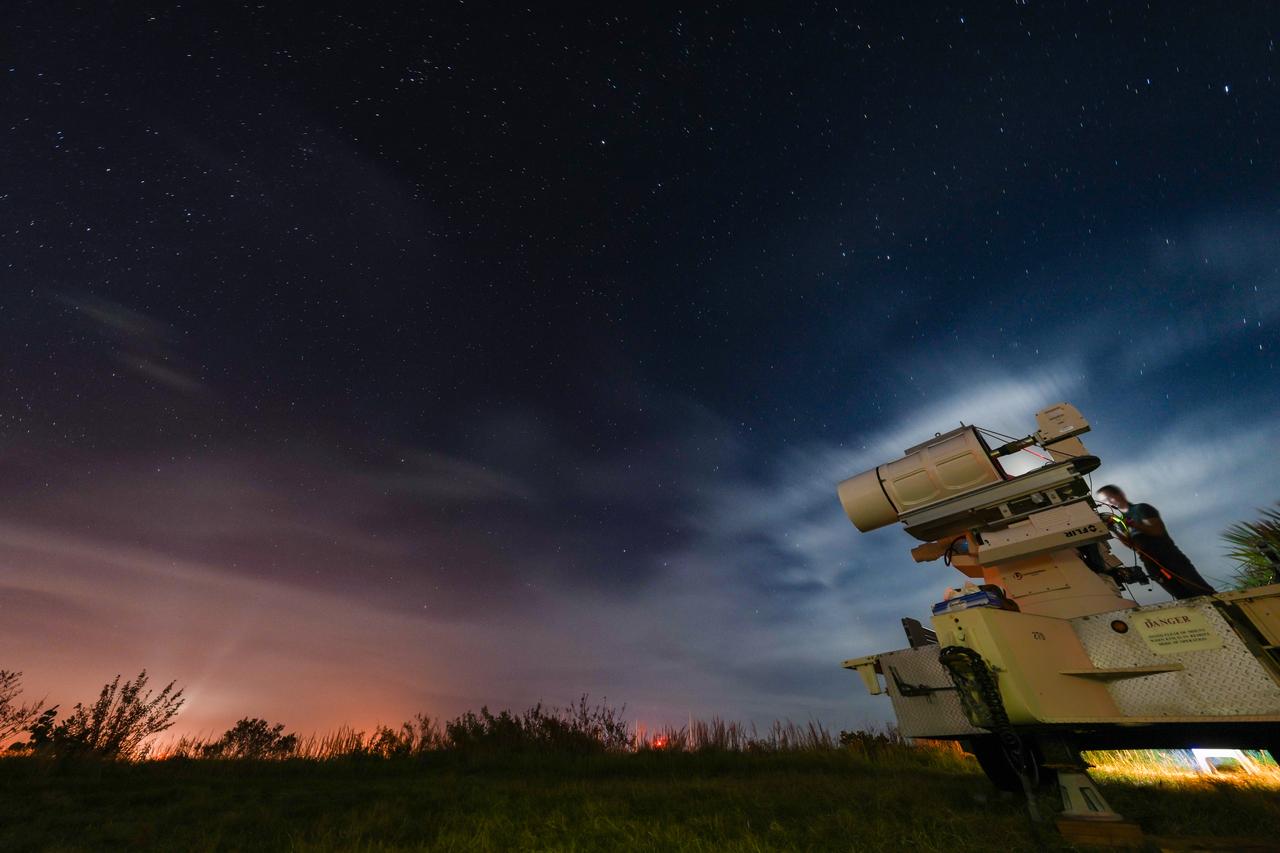
First operational FireSat satellites reach orbit as wildfire smoke blankets North America

First operational FireSat satellites reach orbit as wildfire smoke blankets North America

Three Google- and Bezos-backed spacecraft built to spot fires as small as a backyard begin a three-month checkout before feeding data to agencies in four countries.

Richard Miniter
First Published: July 21, 2026, 3:39 PM ET

— The first three operational satellites in the FireSat constellation reached orbit aboard a SpaceX Falcon 9 launched from Vandenberg Space Force Base in California on July 7, 2026. Smoke from hundreds of wildfires was spreading across Canada and the United States as the spacecraft deployed. Google Research, which helped design the system and announced the launch, said the satellites carry the same sensor architecture proven by a pilot spacecraft that reached orbit in 2025. The program calls the milestone “initial operational capability” for what Ars Technica reported is the first constellation purpose-built to detect wildfires.

Each satellite carries multispectral infrared imaging that sees through smoke and clouds and detects fires as small as five by five meters, about 16 by 16 feet. That resolution lets FireSat find small, low-intensity blazes that existing satellites miss. The nonprofit Earth Fire Alliance leads the program, with California-based Muon Space building and operating the spacecraft. After a three-month test period, the satellites will feed data to fire agencies, covering every fire-prone region on Earth at least twice per day. Early-adopter agencies in California, Colorado, Australia and Portugal are set to use the data this year, and Ars Technica reported that detection service in the United States, Australia and Europe will begin before the end of 2026.

The program’s backers have committed substantial funding. Google.org has provided more than $15 million to support deployment of the early satellites, and the Bezos Earth Fund committed $26 million, according to Ars Technica; the Gordon and Betty Moore Foundation is also listed among Earth Fire Alliance partners. The payoff scales with the constellation. The program aims to image any point on Earth hourly by 2029, dropping to every 20 minutes once more than 50 satellites are in orbit in the early 2030s. The Earth Fire Alliance projects that an hourly revisit rate alone could save more than $1 billion in fire-damage costs, prevent nearly 22 million tons of carbon emissions, and protect 3,500 homes and 1.3 million acres. Google Research plans to run its AI models on the operational data, comparing each image against thousands of prior observations and factoring in local weather to determine whether a fire is present. Christopher Van Arsdale of Google described the launch as a step “forward in putting practical AI to work for climate resilience.”

The timing sharpened the program’s relevance. Traditional fire suppression has struggled against blazes spreading through Canada’s boreal forests this summer, forcing thousands in First Nations communities to flee and blanketing more than 100 million people across Canadian and U.S. cities in hazardous smoke, Ars Technica reported. Two of Canada’s most destructive wildfire seasons came in 2023 and 2025 — a trend scientists tie to a hotter, drier climate that the satellites now aim to help manage.


Research