
Navy Awards $40 Million to Six Firms for Robotic Ocean Floor Mapping
AOR International, Blue Water Autonomy, Chance Technologies, Link Technologies, Ocean Power Technologies and Saildrone will map seabeds with unmanned surface vehicles across the Indian and Pacific oceans through July 2028.

MELBOURNE, FLORIDA — The U.S. Navy will pay six small businesses $40 million to map the ocean floor with self-driving surface robots across the Indian and Pacific oceans, as announced on war.gov.
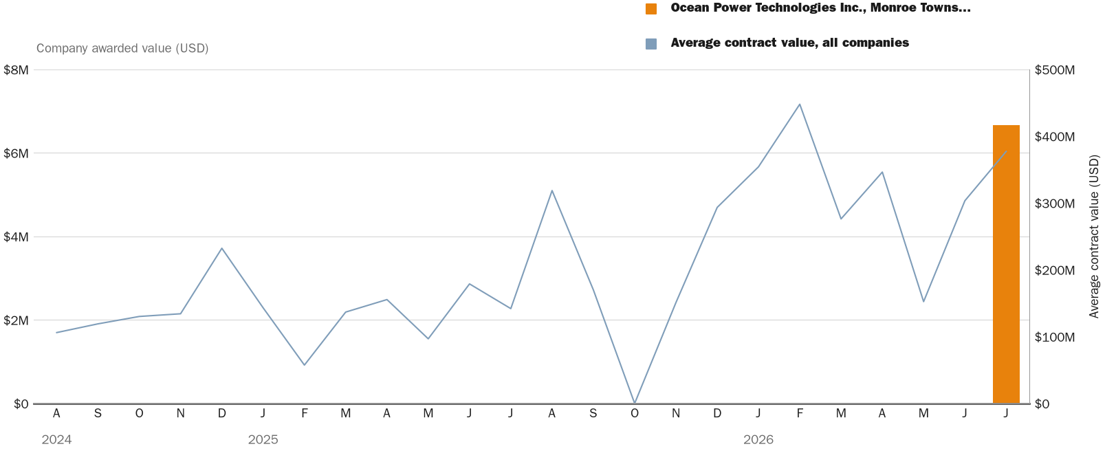
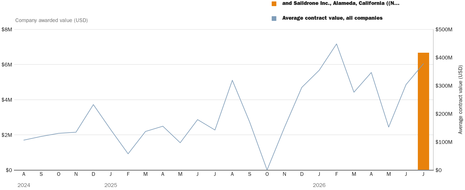
The award is a multiple-award, indefinite-delivery/indefinite-quantity contract for high-resolution mapping using long-endurance unmanned surface vehicles for the Naval Oceanographic Office, according to war.gov. The firm-fixed-price deal carries a two-year base ordering period with no options. Each of the six companies receives a $10,000 minimum guarantee, for a total of $60,000 obligated at award using fiscal 2026 operations and maintenance Navy funds.
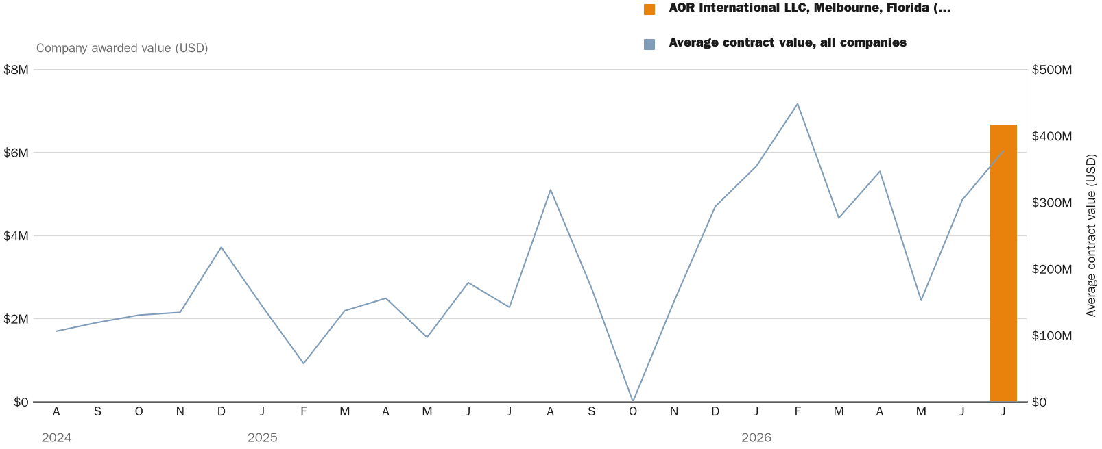
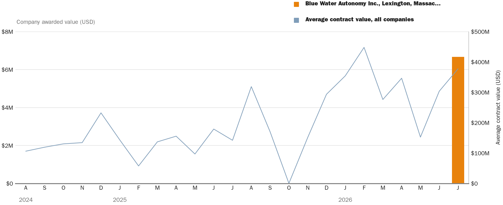
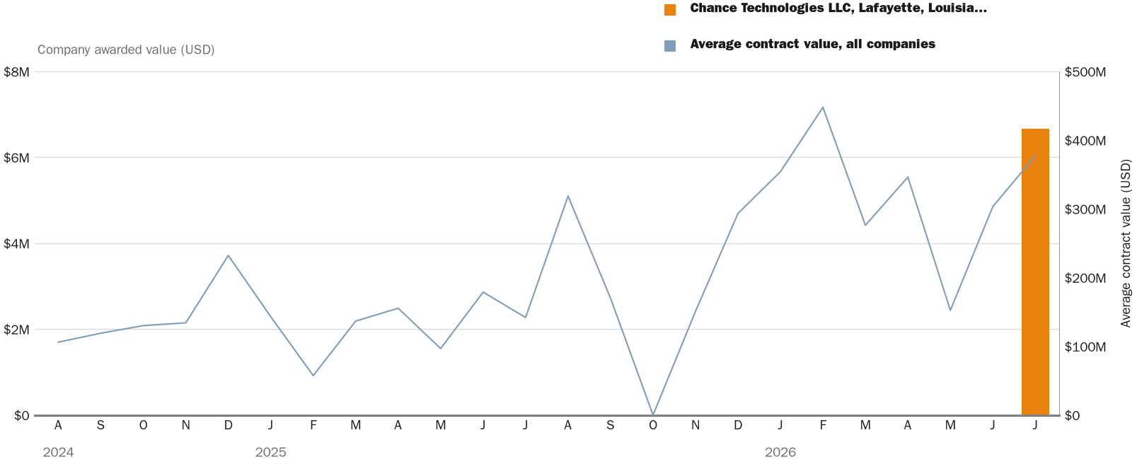
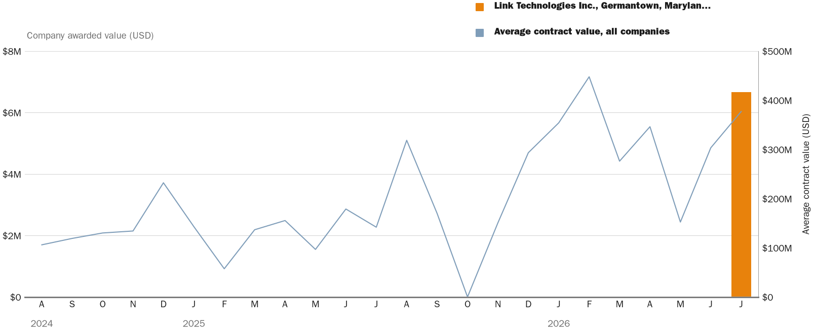
The recipients are AOR International LLC of Melbourne, Florida;Blue Water Autonomy Inc.of Lexington, Massachusetts;Chance Technologies LLC of Lafayette, Louisiana;Link Technologies Inc.of Germantown, Maryland;Ocean Power Technologies Inc.of Monroe Township, New Jersey; and Saildrone Inc.of Alameda, California. The Navy said the firms will perform work only in response to awarded task orders, all in international waters beyond U.S. territorial boundaries, according to war.gov.
The structure spreads risk and reward across a field of competitors. Each holder must still win task orders against the other five, so the $40 million ceiling is a shared pool rather than a guaranteed payout. That design favors firms that can field durable, autonomous craft at low cost, and it pressures those that cannot keep robotic vessels at sea for weeks at a time.
Ocean floor mapping matters far beyond the deck of a research vessel. Detailed bathymetry guides submarine navigation, undersea cable routing, and safe passage for commercial shipping that moves most global trade. Precise seabed charts also underpin oceanographic forecasting that shapes weather models reaching ordinary consumers.
Unmanned surface vehicles have moved from experiment to procurement across the fleet. The Navy has expanded its use of autonomous craft for surveillance and survey work, and this award treats seabed mapping as a service it buys competitively rather than a task for crewed ships alone. The Navy competitively procured the contract through the System for Award Management website and received nine offers under a small business set-aside, according to war.gov.
The scale sits at the modest end of Navy contracting. A $40 million ceiling spread among six firms over two years is a fraction of the multibillion-dollar shipbuilding programs that dominate the service’s budget, yet it signals steady demand for the autonomous survey niche.
This has happened before. The Navy has repeatedly turned to commercial autonomy vendors for ocean survey and maritime awareness, and Saildrone in particular has fielded wind-and-solar-powered vehicles on government science and defense missions. The multiple-award format also mirrors prior indefinite-delivery contracts that let the Navy issue task orders as needs arise.
The Naval Oceanographic Office will decide which firms receive individual task orders once the ordering period opens. The ordering period is anticipated to begin in August 2026 and continue through July 2028, according to war.gov. A specific date for the first task order has not been announced.
Charting the deep is an old naval preoccupation, as happened before. The USS Tuscarora ran the first deep-sea soundings across the Pacific in the 1870s, using piano wire to measure depths of more than 4,000 fathoms off Japan. Those readings helped map routes for the first trans-Pacific telegraph cables and cemented the Navy’s role as a surveyor of the seabed, a role it now hands, in part, to machines that steer themselves.

NewsFindr Chart Maker
Photo by NewsFindr Chart Maker
NewsFindr Chart Maker
Photo by NewsFindr Chart Maker
NewsFindr Chart Maker
Photo by NewsFindr Chart Maker
NewsFindr Chart Maker
Photo by NewsFindr Chart Maker
NewsFindr Chart Maker
Photo by NewsFindr Chart Maker
NewsFindr Chart Maker
Photo by NewsFindr Chart Maker